NASA Atmospheric LiDAR Group
Since July 2021 I have been working on complex mechanical systems in lab and field environments as a NASA contractor. In the field I support atmospheric LiDAR instruments as a part of the IMPACTS and ACCLIP science campaigns. When I am in the lab I help maintain our airborne instruments and help develop the ALICAT atmospheric LiDAR satellite instrument.
Field Work:
ACCLIP:
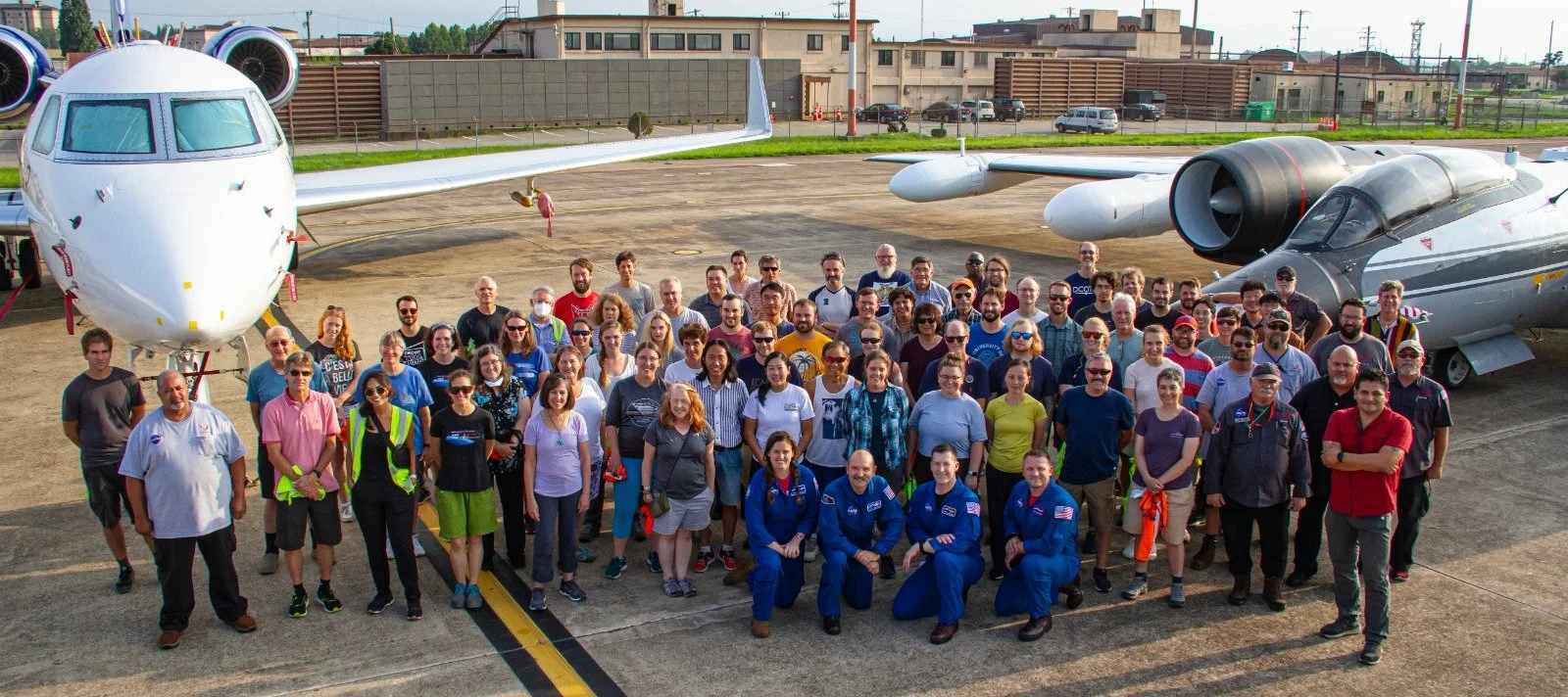
The National Aeronautics and Space Administration (NASA) and the National Science Foundation's National Center for Atmospheric Research (NCAR) will conduct a jointly funded two-month campaign in Summer 2022* in the Republic of Korea: the Asian Summer Monsoon Chemical & CLimate Impact Project (ACCLIP). Two aircraft (the NASA WB-57 and the NCAR G-V), outfitted with state-of-the-art sensors, and approximately 80 scientists from the US and other international research organizations will participate in ACCLIP.
The Asian Summer Monsoon (ASM) is the largest meteorological pattern in the Northern Hemisphere (NH) summer season. Persistent convection and the large anticyclonic flow pattern in the upper troposphere and lower stratosphere (UTLS) associated with ASM leads to a significant enhancement in the UTLS of trace species from pollution and biomass burning origins. The monsoon convection occurs over South, Southeast, and East Asia, a region of uniquely complex and rapidly changing emissions tied to both its high population density and significant economic growth. The coupling of the most polluted boundary layer on Earth to the largest dynamical system in the summer season through the deep monsoon convection has the potential to create significant chemical and climate impacts. An accurate representation of the ASM transport, chemical and microphysical processes in chemistry-climate models is much needed for characterizing ASM chemistry-climate interactions and for predicting its future impact in a changing climate.
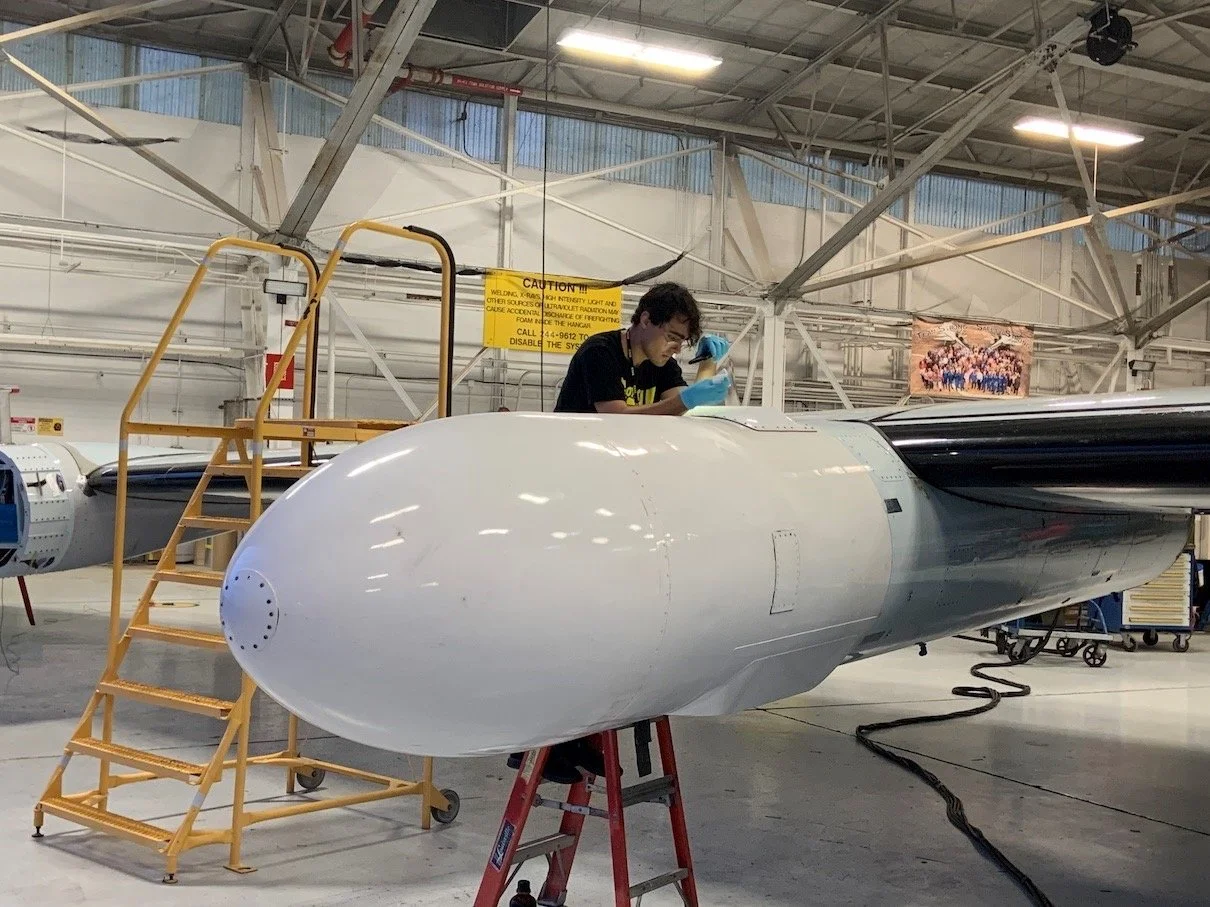
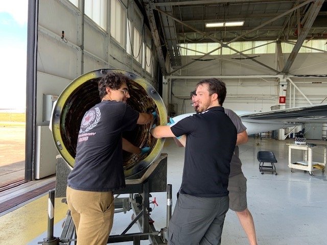
For the ACCLIP Campaign I support the Roscoe instrument.
Roscoe is a new, more compact version of the NASA GSFC Cloud Physics Lidar that has flown on multiple NASA high altitude aircraft over the past two decades. While utilizing the same proven measurement technique of coupling a high repetition rate laser with photon-counting detection, Roscoe differs from CPL in two significant ways. First, it is designed to simultaneously observe both upwards and downwards from the aircraft, to enable studies of stratospheric aerosols above flight altitude as well as below. It is, essentially, two small CPL instruments in one package, one pointing nadir and one pointing zenith. Second, it operates at only 1064 and 355 nm (not 532 nm) to satisfy eye-safety considerations for airborne operation. Roscoe measures depolarization at both wavelengths to characterize the phase of the cloud and aerosol particles detected.


IMPACTS:
The Investigation of Microphysics and Precipitation for Atlantic Coast-Threatening Snowstorms (IMPACTS) will fly a complementary suite of remote sensing and in-situ instruments for three 6-week deployments on the ER-2 and P-3 aircraft. IMPACTS will address three specific objectives, providing observations critical to understanding the mechanisms of snowband formation, organization, and evolution. IMPACTS will also examine how the microphysical characteristics and likely growth mechanisms of snow particles vary across snowbands. IMPACTS will improve snowfall remote sensing interpretation and modeling to significantly advance predictive capabilities.
Winter snowstorms are frequent on the eastern seaboard and cause major disruptions to transportation, commerce, and public safety. Snowfall within these storms is frequently organized in banded structures that are poorly understood by scientists and poorly predicted by current numerical models. Since that last study on snowstorms, the capabilities of remote sensing technologies and numerical weather prediction models have advanced significantly, making now an ideal time to conduct a well-equipped study to identify key processes and improve remote sensing and forecasting of snowfall.


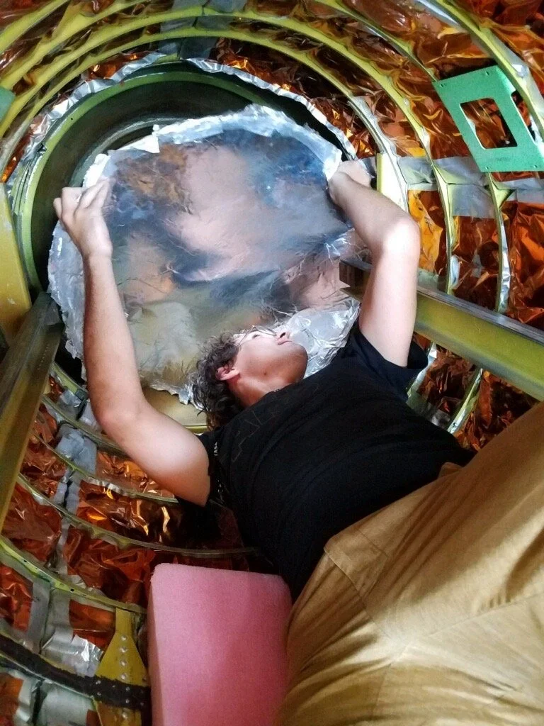
For the IMPACTS Campaign I support the Cloud Physics LiDAR (CPL) instrument.
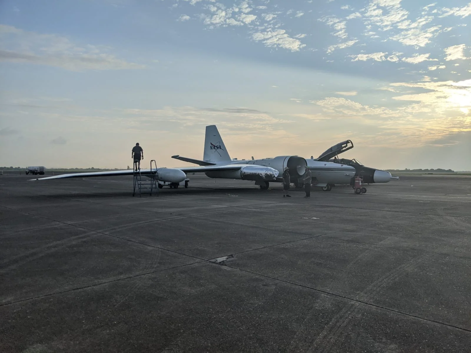
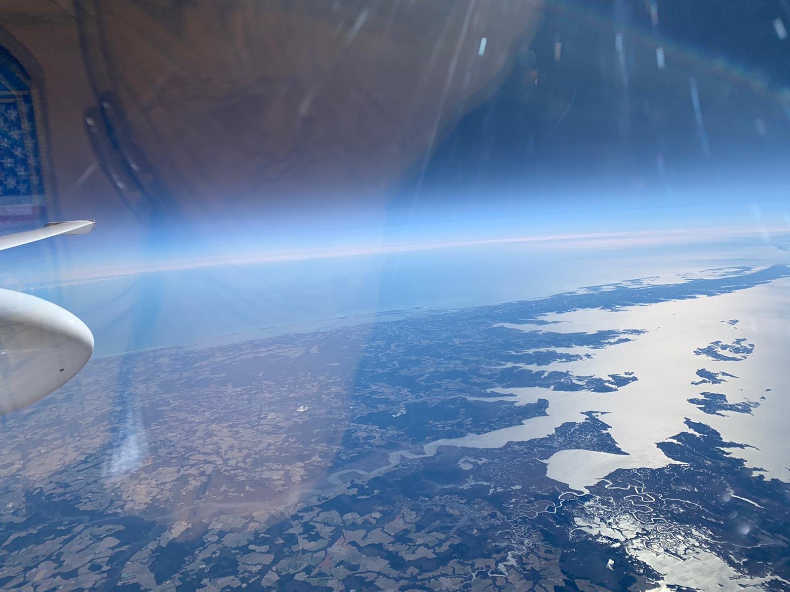
The Cloud Physics Lidar is an airborne lidar system designed specifically for studying clouds and aerosols using the ER-2 High Altitude Aircraft. Because the ER-2 typically flies at 65,000 feet (20 km), its instruments are above 94% of the earth's atmosphere, thereby allowing ER-2 instruments to function as spaceborne instrument simulators. The Cloud Physics Lidar provides a unique tool for atmospheric profiling and is sufficiently small and low cost to include in multiple instrument missions.
The Cloud Physics Lidar flies on the ER-2 along with other instruments and is typically located in the forward section of the left wing superpod. A window in the bottom of the superpod allows the instrument to look directly at nadir (this is a non-scanning system).
The Cloud Physics Lidar provides a complete battery of cloud physics information. Data products include:
Cloud profiling with 30 m vertical and 200 m horizontal resolution at 1064 nm, 532 nm, and 355 nm, providing cloud location and internal backscatter structure.
Aerosol, boundary layer, and smoke plume profiling at all three wavelengths.
Depolarization ratio to determine the phase (e.g., ice or water) of clouds using the 1064 nm output.
Cloud particle size determined from a multiple field-of-view measurement using the 532 nm output (off-nadir multiple scattering detection).
Direct determination of the optical depth of cirrus clouds (up to ~OD 3) using the 355 nm output.


